










Heavy rain warning in Odisha
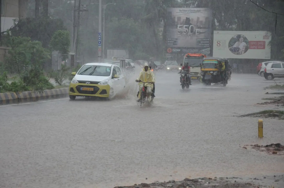
Odisha: The India Meteorological Department (IMD) reported on Sunday that the low pressure area over the northwest Bay of Bengal and adjoining coastal areas of northern Odisha and West Bengal has intensified into a depression. Following the activation of this system, the weather in many parts of eastern India has been rapidly affected, with continuous heavy rainfall being recorded.
According to the India Meteorological Department, this depression is expected to move west-northwestward over the next 24 hours. It is expected to cross the northern Odisha coast between Chandbali and Digha near Balasore. After moving overland, it may continue to move west-northwestward over northern Odisha and northern Chhattisgarh for another 24 hours.
The Meteorological Department states that Odisha has been experiencing continuous heavy rainfall for the past 24 hours due to the influence of this system. Heavy to very heavy rainfall has been recorded in several districts, disrupting normal life. Waterlogging has begun in low-lying areas, and water levels in rivers and streams are rising.
The highest rainfall in the state was recorded in Khajuripara in Kandhamal district, where it received 276 mm of rain. Turikela in Balangir district also received 264 mm of rain. Other affected areas included Phulbani (224.4 mm), Firingiya (223.6 mm), G. Udayagiri (220 mm), Lakhabali (217 mm), Baliguda (210 mm), Titlagarh (205.4 mm), and Chakapad (204.6 mm).
These heavy rainfall figures clearly indicate that the situation remains critical in many districts, and the continued downpour could disrupt normal life. There is a growing risk of road disruptions and waterlogging in rural areas. The administration has been instructed to remain vigilant.
The Odisha government and local administration have begun monitoring the situation. Relief and rescue teams have been placed on alert in affected areas to respond promptly in case of any emergency.
The Meteorological Department has issued a red alert for Bargarh, Sambalpur, and Nuapada districts for Sunday. Isolated and extremely heavy rainfall is expected in these districts. A red alert means that the weather in these areas could become extremely severe, and flood-like conditions could also develop.
According to data, such depression systems can be very dangerous for coastal areas during the monsoon season, as they can bring heavy rainfall in a short period of time. Continuous rainfall increases the water level of rivers, increasing the risk of flooding in low-lying areas.
Local administrations have appealed to people not to leave their homes unnecessarily and to stay in safe places. Fishermen have also been advised not to venture into the sea as sea conditions may also become rough.
Precautions are also being taken regarding schools and other educational institutions in many districts, and holidays may be declared if necessary.
The Meteorological Department is continuously monitoring this system and the next 24 to 48 hours are considered very important for Odisha and surrounding states.