


Cyclone Mocha: Why The Name & IMD’s Prediction On Its Probable Path
Bhubaneswar: Amid the forecast that there is a good chance that the low pressure over the Southeast Bay of Bengal will produce a cyclonic storm, national media reported that Cyclone Mocha might make a landfall on the eastern coast of the country.
Citing India Meteorological Department’s (IMD) Thursday predicted, the India Today said that the storm is likely to make landfall in Odisha, West Bengal between May 7 and May 9.
According to the IMD, a cyclonic circulation is likely to develop over Southeast Bay of Bengal around May 6. Under its influence a low pressure area is likely to form over the same region around May 9. It is likely to concentrate into a depression over Southeast Bay of Bengal on May 8. Thereafter, it is likely to intensify into a cyclonic storm while moving nearly northwards towards central Bay of Bengal. The details of its path and intensification will be provided after the formation of low pressure area, it added.
“No prediction has been made about the path and intensity of the possible cyclonic storm yet. We have not made any prediction about its impact on Odisha. We will speak about it once the low pressure forms,” IMD DG Mrutyunjay Mohapatra said on Friday.
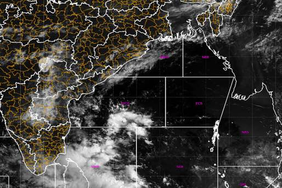
Times Now reported that the system over the Bay of Bengal would intensify into a cyclonic storm in Chennai and surrounding areas this weekend.
The IMD in its Tropical Weather Outlook issued on Thursday said that IMD-GFS weather model indicates that the system may move towards Bangladesh-Myanmar coast and intensify into very severe cyclonic storm category. While the cyclonic storm may take shape around May 9, the model indicated north-northwestwards movement till May 10 and northeastwards recurvature thereafter towards southeast Bangladesh and adjoining Myanmar coasts.
According to European Centre for Medium-Range Weather Forecasts (ECMWF), the low pressure over Southeast Bay of Bengal may form around May 7, Depression over the same region and adjoining South Addaman Sea around May 9 with gradual north-northwestwards movement and intensification into cyclonic storm around May 10. It indicated north-northeastwards recurvature from May 11 onwards towards Myanmar coast.
NCMRWF Unified Model (NCUM), on the other hand, indicated northwestwards movement towards Tamil Nadu coast and emergence into southeast & adjoining eastcentral Arabian Sea.
American GFS, however, said that the possible cyclone is heading towards Bangladesh coast.
According senior meteorologist Jason Nicholls, the low pressure may form in the Bay of Bengal this weekend, then become a cyclonic storm Mocha next week. “Can threaten NE India & Bangladesh,” he tweeted.
Image
Meanwhile, the MeT office has issued advisory for fishermen, warning them against venturing into the Bay of Bengal, which is likely to experience squally weather with gusty winds up to the speed of 50 kmph due to the cyclonic disturbance from May 6. The wind speed might gradually increase to 50 kmph on May 8 and May 9, resulting in rough sea conditions.
Upon its intensification into a cyclonic storm, the system will be called Cyclone Mocha, a name suggested by Yemen. It originates from the Yemeni city Mocha (or Mokha) located on the Red Sea coast, which is known for its coffee trade. Mocha is a chocolate-flavoured warm beverage that is a variant of coffee.
Mocha is one of the 1,689 titles issued by IMD.