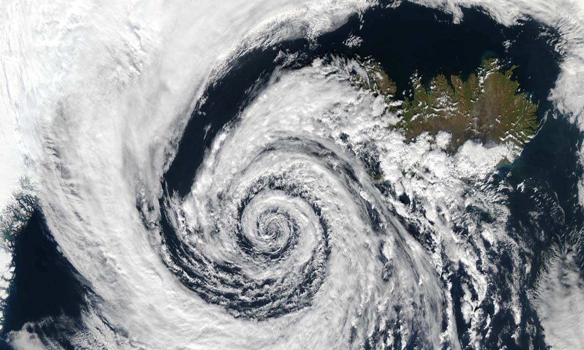
Meteorologists have picked up the first signs of a possible cyclonic storm in the Arabian Sea but are still unsure about its intensity. There is a cyclonic circulation over the southeast Arabian Sea and the adjoining Lakshadweep region.
Under its influence, a low-pressure area is likely to form over the same region, an official at the India Meteorological Department said.
“As of now, the probability of this system intensifying into a cyclonic storm is not very high. The models have yet to confirm it. There is no unanimity in the model forecasts so far. We will have to wait for a few more days for a clear picture to emerge,” the official said.
October to December is among the favourable periods for the development of cyclones in the Bay of Bengal and the Arabian Sea due to warmer ocean temperatures.
No tropical storm formed over the Arabian Sea during the post-monsoon season in 2022. In contrast, the Bay of Bengal saw two tropical storms, Sitrang and Mandous.
Therefore, it said the statistical probability of cyclone formation in the Arabian Sea becomes higher. If a tropical storm forms in the Indian Seas, it will be named ‘Tej’, according to the formula followed for naming cyclones in the Indian Ocean region.
Skymet Weather added that cyclones in the Arabian Sea have a history of uncertain tracks and timelines.
Meteorologists often struggle to decisively predict their subsequent movements. Typically, once they are over the central parts of the Arabian Sea, the preferred track is towards Somalia, the Gulf of Aden, Yemen, and Oman.
However, on a few occasions, these cyclones take a detour and head towards the Gujarat and Pakistan coastline, it said.


